


Non sono disponibili versioni a risoluzione più elevata.
Lower_Mississippi_Delta_Region.gif (255 × 304 pixel, dimensione del file: 5 KB, tipo MIME: image/gif)
| Questo file e la sua pagina di descrizione (discussione · modifica) si trovano su Wikimedia Commons (?) |
Dettagli
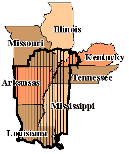
| Descrizione |
English: Part of the Draft Heritage Study and Environmental Assessment |
| Data | |
| Fonte | http://www.nps.gov/history/delta/maps/map_area.htm |
| Autore | Draft Heritage Study and Environmental Assessment, NPS |
Licenza
| This image or media file contains material based on a work of a National Park Service employee, created as part of that person's official duties. As a work of the U.S. federal government, such work is in the public domain in the United States. See the NPS website and NPS copyright policy for more information. |
Cronologia del file
Fare clic su un gruppo data/ora per vedere il file come si presentava nel momento indicato.
| Data/Ora | Miniatura | Dimensioni | Utente | Commento | |
|---|---|---|---|---|---|
| attuale | 22:34, 31 lug 2009 | | 255 × 304 (5 KB) | Edmund Ferman | {{Information |Description={{en|1=Part of the Draft Heritage Study and Environmental Assessment}} |Source=http://www.nps.gov/history/delta/maps/map_area.htm |Author=Draft Heritage Study and Environmental Assessment, NPS |Date=1996 |Permission= |other_vers |
Pagine che usano questo file
La seguente pagina usa questo file:
Utilizzo globale del file
Anche i seguenti wiki usano questo file:
- Usato nelle seguenti pagine di de.wikipedia.org: